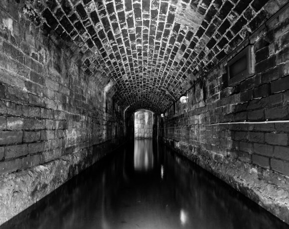
Despite Portsmouth being very low lying, much of it orginally reclaimed land from the sea, flooding hasn’t been a regular threat over the years unlike other locations around the UK. One year when the city was heavily flooded was way back in 1912, when the flood water covered Southsea Common. I haven’t been able to find many photos of the flood but I did find this postcard, showing the Common. If you have any photos or links about flooding please leave a comment!


Martin
7 March
Amazing!
neil android
8 March
someone recently relayed the story to me about why the wheelbarrow pub is named as such… the common was pretty much marshland back then and the naval officers relied on the services of ‘barrow men’, being the only folks who could successfully navigate the marsh in the misty dark to get the drunken officers back to their quarters. don’t know how true it is, but a great story nonetheless.
Gareth C
8 March
@Neil:
Check the archives on here, I gave the guys some scans of an old book about Portsmouth which gives more details about the historic origins of the common!
Paul Gonella
8 March
Most of Eastney and Milton was swamp/marsh until they drained it, from what I remember reading. Must still be a danger of flooding that way actually, seeing as it has had all the new drainage built in the last year or two.
Alex Seed
6 October
Indeed, much of the land that Southsea is built on was reclaimed, mainly by filling in the marsh area with rubble and pallets … Evidence of this is in Prince Albert Road, by the curve near the Eastfield pub … There is a dip in the road, where the land has settled, and, aided by the bombing in the Second World War, fallen …